Drone Photogrammetry Course
Title

Drone Photogrammetry Course
Title

$199.00

Modality: ONLINE – In Spanish
Excerpt

Schedule: 9:00 am to 2:00 pm both days
Excerpt

Duration: 10 hours (2 intensive days)
Excerpt

Saturday and Sunday (5 hours per day)
Excerpt

Schedule: 9:00 am to 2:00 pm

Share


This drone photogrammetry course gives you the opportunity to learn the skills necessary to use drones as effective tools for obtaining accurate terrain information. You will learn advanced techniques and specialized tools for obtaining accurate and detailed aerial images. In addition, participants will gain knowledge about legal and safety aspects related to the use of drones in photogrammetry. This course is an investment in skills and knowledge that can be applied in a variety of fields, from construction and agriculture to disaster management and security.    

Day 1.

FUNDAMENTALS AND MISSION PLANNING

Sesión 1: Introducción a la Fotogrametría
  • Welcome and Course Presentation
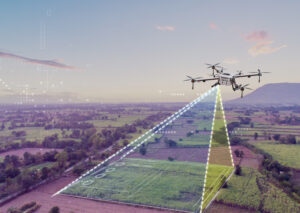
  • Basic Concepts of Photogrammetry: Definition, History, and Evolution
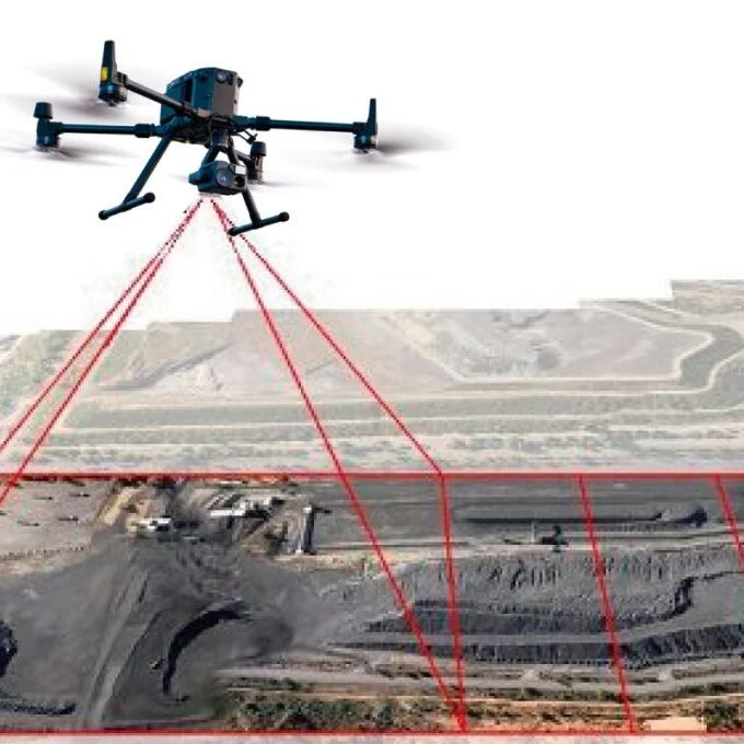
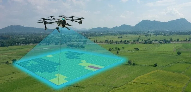
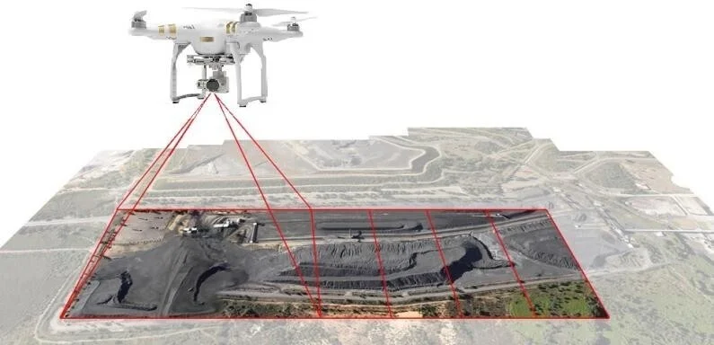
  • Practical Applications: Agriculture, Construction, Mining, Surveying, and More
  • Case Studies: Examples of Successful Projects
Session 2: Equipment and Technology
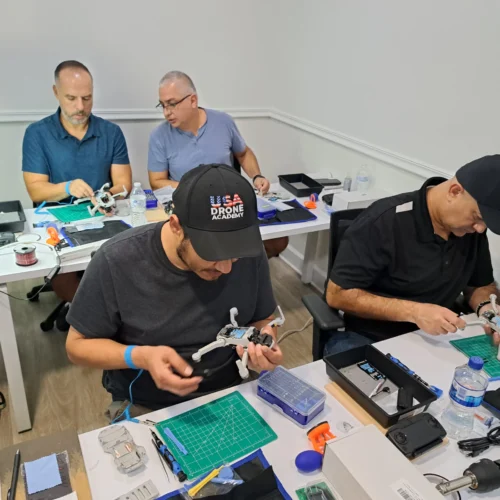
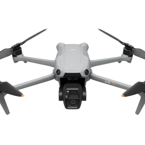
  • Recommended Drones for Photogrammetry: Review of Models Such as the DJI Phantom 4 RTK and DJI Matrice 300 RTK
  • Cameras with GSD sensors: RGB, multispectral, thermal, and LIDAR.
  • Planning and processing software.
  • Equipment configuration for photogrammetric missions: Tips and best practices.
Session 3: Photogrammetric Mission Planning
  • Legal and safety considerations: FAA rules, permits, and regulations.
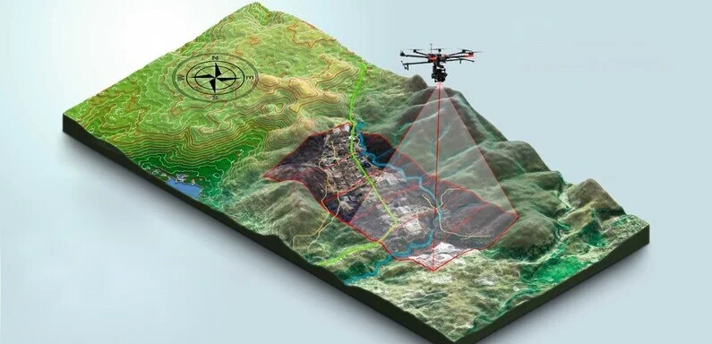
  • Photogrammetric flight planning: Coverage, image overlap, flight altitude.
  • Considerations and criteria for control point placement
  • Area Reconnaissance Using Google Earth
  • Selection of the Study Area: Factors to Consider (Topography, Obstacles, Weather).
  • Flight Parameter Calculation: Terrain Resolution, Flight Time, and Drone Endurance.
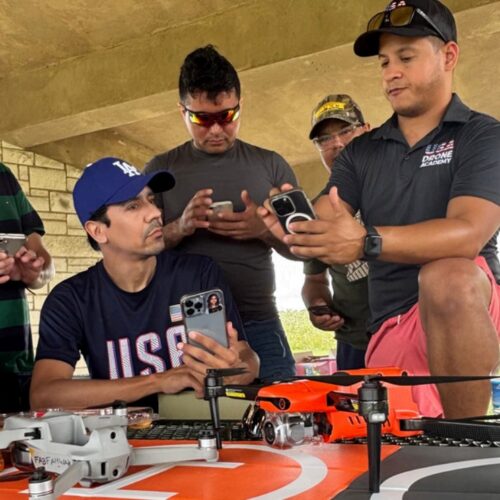
Session 4: Practical Planning Examples
  • Analysis of Real-World Missions: Discussion of Mission Planning in Different Environments.
  • Interactive Workshop: Creating a Photogrammetric Flight Plan Based on a Provided Scenario
  • Questions and Doubts: Open session to clarify concepts.

Day 2

DATA PROCESSING AND ANALYSIS

Session 5: Image Processing
  • Introduction to photogrammetric data processing: Workflows in Geolabs.
  • Step-by-step processing: Importing images, aligning photos, generating point clouds.
  • Generating orthomosaics and 3D models: Detailed explanation of each step.
  • Model correction and refinement: Tools to improve the accuracy and quality of results.
Session 6: Analysis and Interpretation of Results
  • Interpretation of orthomosaics and 3D models: Identification of key features and potential errors.
  • Generation of contour lines and Digital Elevation Models (DEMs).
  • Calculation of volumes and areas: Applications in construction, mining, and agriculture.
Session 7: Specific Applications
  • 3D modeling in construction and mining: Examples of how 3D models can improve project planning and monitoring.
  • Infrastructure monitoring: Applications in the inspection of bridges, roads, and buildings.
  • Case study review: Discussion of challenges and solutions in real-life projects.
Session 8: Final Project and Evaluation
  • Project development: Processing and analysis of a provided dataset.
  • Presentation of results: Discussion of the findings and methodology applied.
  • Evaluation and feedback: Comments on the work performed and suggestions for improvements.
  • Conclusions and Closing: Course recap, certificate presentation, and farewell.

Reviews

There are no reviews yet.

Be the first to review “Drone Photogrammetry Course
Title”

Your email address will not be published. Required fields are marked *