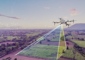
Sesión 1: Introducción a la Fotogrametría
- Welcome and Course Presentation
- Basic Concepts of Photogrammetry: Definition, History, and Evolution
- Practical Applications: Agriculture, Construction, Mining, Surveying, and More
- Case Studies: Examples of Successful Projects
Session 2: Equipment and Technology
- Recommended Drones for Photogrammetry: Review of Models Such as the DJI Phantom 4 RTK and DJI Matrice 300 RTK
- Cameras with GSD sensors: RGB, multispectral, thermal, and LIDAR.
- Planning and processing software.
- Equipment configuration for photogrammetric missions: Tips and best practices.
Session 3: Photogrammetric Mission Planning
- Legal and safety considerations: FAA rules, permits, and regulations.
- Photogrammetric flight planning: Coverage, image overlap, flight altitude.
- Considerations and criteria for control point placement
- Area Reconnaissance Using Google Earth
- Selection of the Study Area: Factors to Consider (Topography, Obstacles, Weather).
- Flight Parameter Calculation: Terrain Resolution, Flight Time, and Drone Endurance.
Session 4: Practical Planning Examples
- Analysis of Real-World Missions: Discussion of Mission Planning in Different Environments.
- Interactive Workshop: Creating a Photogrammetric Flight Plan Based on a Provided Scenario
- Questions and Doubts: Open session to clarify concepts.

Reviews
There are no reviews yet.